Hot water expands. Whether you knew that empirically, intuitively, not at all, or only dimly from the distant memory of a good classroom science experiment, the fact remains that the thermal expansion generated by this year’s El Niño is raising sea-levels dramatically across the eastern Pacific.
Working with altimetry measurements from NASA’s Sentinel-6 satellite, researchers with NASA’s Scientific Visualization Studio now say that parts of the eastern Pacific have climbed up as high as 1.3 feet (40 centimeters) due this cyclical weather event. The apex of these heights coincides with those so-called Kelvin waves you might have read about recently: slow-but-powerful swells of warm water, thousands of miles long, that warp the typical trade winds above them as they push warmer, taller water eastward towards North and South America’s Pacific coastline.
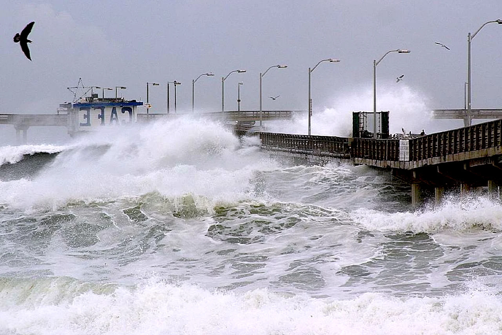
Climate researchers are raising alarm that these elevated patches of ocean are primed to enhance a storm season even further supercharged by an abnormally high tide, one elevated by the unique gravitational effects of the Moon’s 18.6-year lunar nodal cycle. Those warnings include the results of a new study, now available in pre-print while it undergoes peer-review, that forecasts a tenfold rise in “extreme sea-level risk” along coastlines from Alaska to Chile during the 2026-27 El Niño.
“We’re already seeing this start to play out in California, where we’ve seen some major flooding occurring in the aftermath of tropical storm Rachel,” as study coauthor Thomas Monahan, a research fellow at Oxford who focuses on environmental fluid mechanics, told New Scientist.
Source link