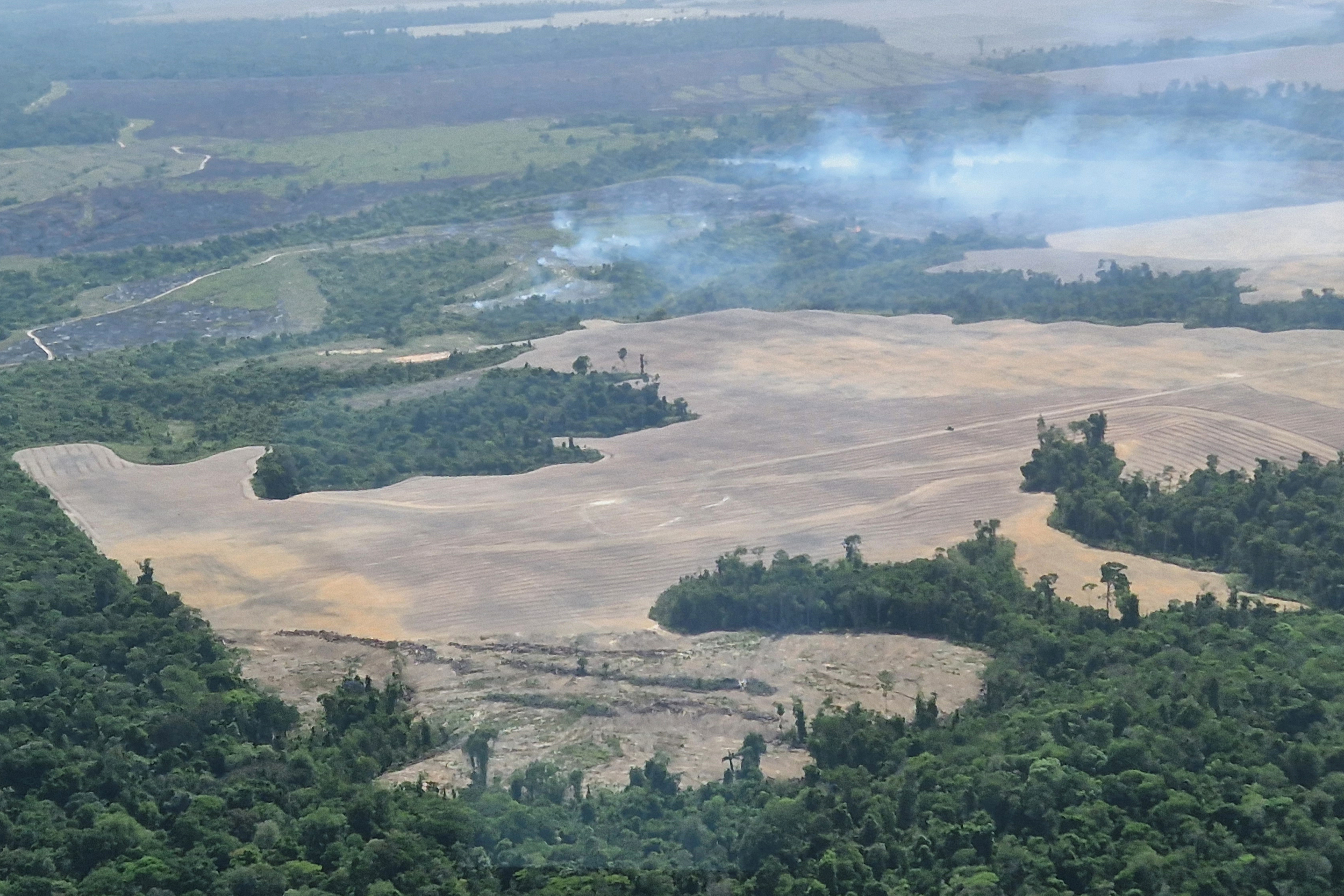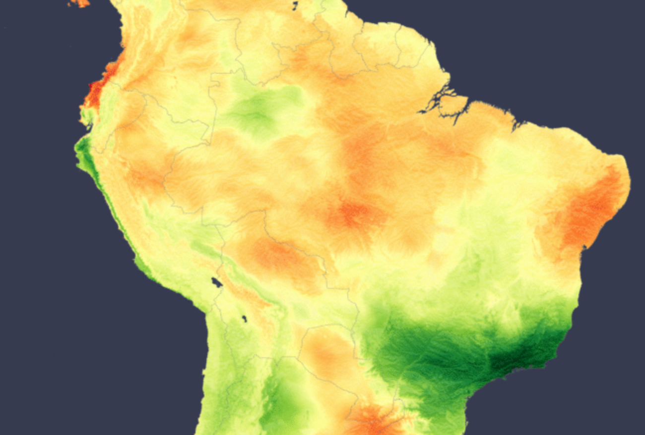
Across South America as a whole, September irradiance was close to normal, but the total average hides a sharply divided month, according to analysis using the Solcast API. Persistent cloud and exceptional rainfall pushed global horizontal irradiance (GHI) 20–24% below the 2007–2025 normal across southeastern Brazil. The Patagonian Steppe and Tierra del Fuego ran close to 19% below normal, while most of the north of the continent was sunnier than usual. A rapidly strengthening El Niño was an important large-scale influence, reshaping rainfall, drought and cloud patterns from the Amazon Basin to Patagonia.
The Brazilian irradiance deficit was centred on São Paulo state, extending to Rio de Janeiro, coinciding with unusually wet conditions. Rio de Janeiro recorded its wettest September since records began in 1997, with heavy rain, thunderstorms and hail across the region. Rainfall means cloud, directly suppressing irradiance. The pattern is consistent with enhanced cloud banding from the South Atlantic Convergence Zone, a band of cloud and rain that stretches from the Amazon towards the Atlantic. Regional climate assessments had identified southern and southeastern Brazil as a primary wet anomaly under El Niño. The southeast also holds Brazil’s largest concentration of utility-scale and distributed solar assets, so this will have had an outsized impact on generation.
NOAA’s Climate Prediction Center continues to issue a “El Niño Advisory” status since June, and forecasts an 80% chance of a strong-to-very-strong event persisting into early 2027. The World Meteorological Organization (WMO) named South America as one of the regions most likely to see major rainfall shifts between September and November.
Source link