I never deemed it possible, but AI’s ability to predict extreme weather conditions has actually morphed from a fantasy into a reality.
Tools such as Google DeepMind’s GraphCast, Huawei’s Pangu-Weather and ECMWF’s AIFS have emerged—by running on decades of historical weather and atmospheric data, they all rely on pattern recognition to be as fast and efficient as possible when generating global forecasts. Even organizations such as the National Oceanic and Atmospheric Administration (NOAA) and the European Centre for Medium-Range Weather Forecasts (ECMWF) have utilized AI weather systems to keep track of large-scale environmental events.
The emergence of spatial AI is doing even more in that regard, as it's already helping US cities predict and prepare for floods, wildfires and urgent infrastructure failures before a disaster strikes.
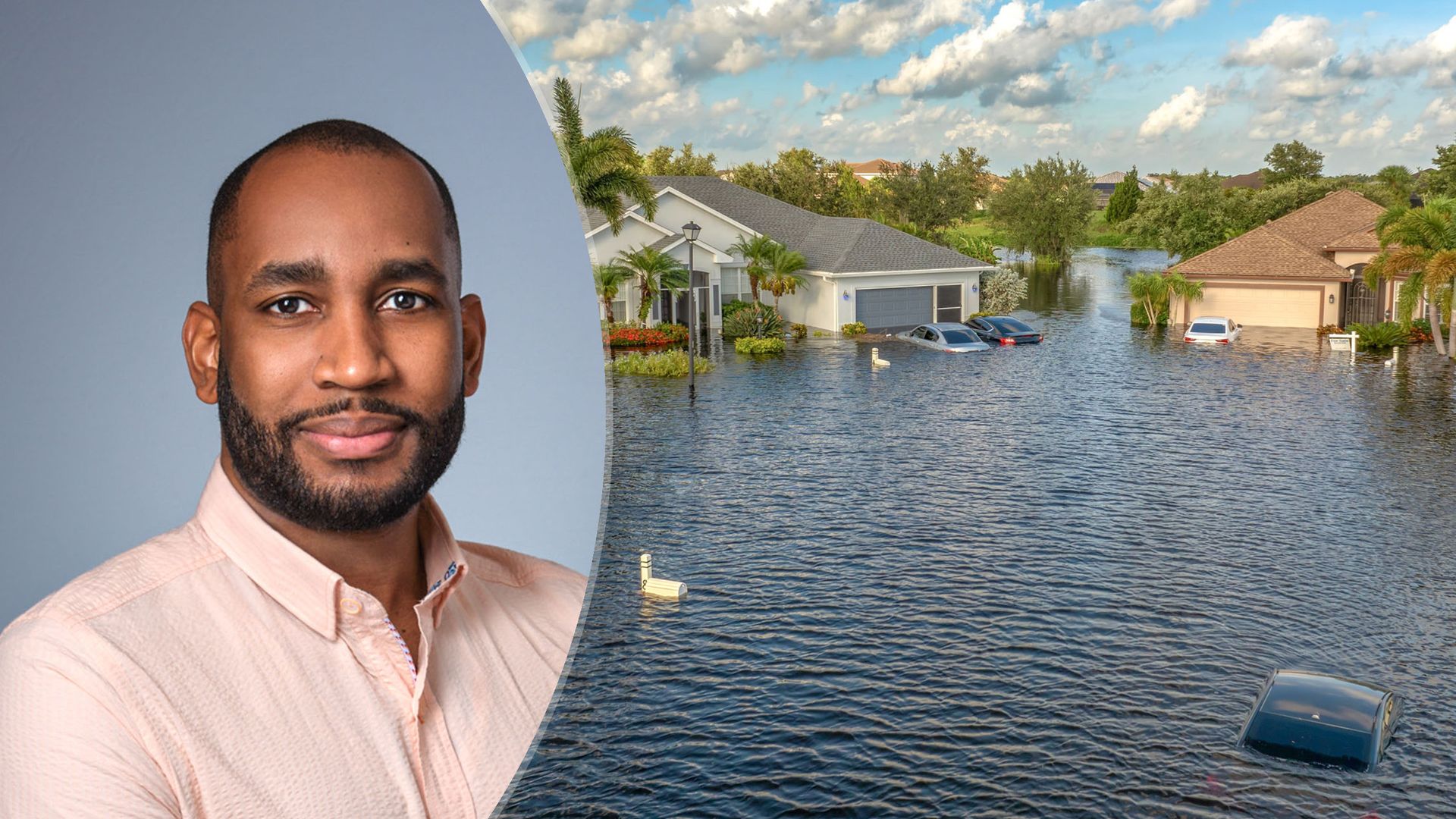
Hantz Févry, CEO of Geolava, which is a technology lab developing AI models for the physical world, answered some questions about how spatial AI works when predicting extreme weather events. He also provided proof of its usefulness, as it’s already assisted the people of Florida in a major way.
Weather AI predicts what the atmosphere is going to do. Spatial AI predicts what that weather will actually do to a specific place: this culvert, this stretch of road, this block. A traditional forecast can tell you that six inches of rain will fall over Tampa.
We can tell you which streets will flood, which drainage assets are already degraded, and where failure is likely to happen first. Forecasting has become very good at understanding the hazard, but it’s largely blind to vulnerability, because it doesn’t know the condition of the physical world the hazard hits.
Source link