The US Navy has tested a camera-based navigation system that allows drones to fly without relying on GPS signals.
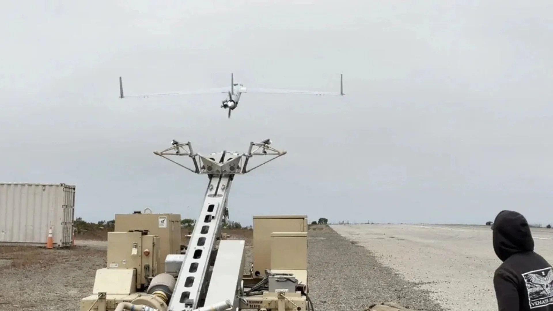
A ScanEagle unmanned aerial vehicle (UAV) completed a six-hour flight over open ocean near Southern California, navigating to designated waypoints using cameras and motion sensors.
Developed by California-based Rhoman Aerospace in collaboration with the Naval Postgraduate School, the system was tested in a simulated GPS-denied environment with satellite navigation and ground links switched off
According to the team, the drone maintained closed-loop flight with less than 0.5 percent position drift relative to the distance traveled.
The new technology combines visual-inertial odometry (VIO), onboard cameras, motion sensors, and flight telemetry to estimate an aircraft’s position and movement.
The system was tested aboard a ScanEagle drone near San Clemente Island, off Southern California, where it completed a six-hour flight with satellite navigation and ground communication links disabled. The trials demonstrated how sensor fusion and onboard autonomy could help drones maintain their flight paths in environments where GPS signals are jammed, spoofed, or unavailable.
Conventional visual navigation systems work by identifying recognizable features in the terrain below an aircraft and using them as reference points to calculate its geographical position. Cameras continuously capture images of the surrounding environment, while image-processing algorithms identify and track distinct visual features.
These observations are combined with information from inertial sensors, including accelerometers and gyroscopes, which measure changes in the aircraft’s movement and orientation. With visual position estimates, and motion measurements, the system can calculate its trajectory without receiving satellite navigation signals.
Source link