Europe is emerging from one of its worst wildfire seasons on record. Deadly blazes this year ripped through countries including Spain, France and Greece, forcing hundreds of thousands to evacuate and burning 699,000 hectares (1.7 million acres) - an area more than four times the size of London.
The disasters highlighted how climate change is fuelling hot and dry conditions that amplify wildfires. But another, often-overlooked factor played a pivotal role in some instances: How governments and private landowners are managing Europe’s emptying countryside.
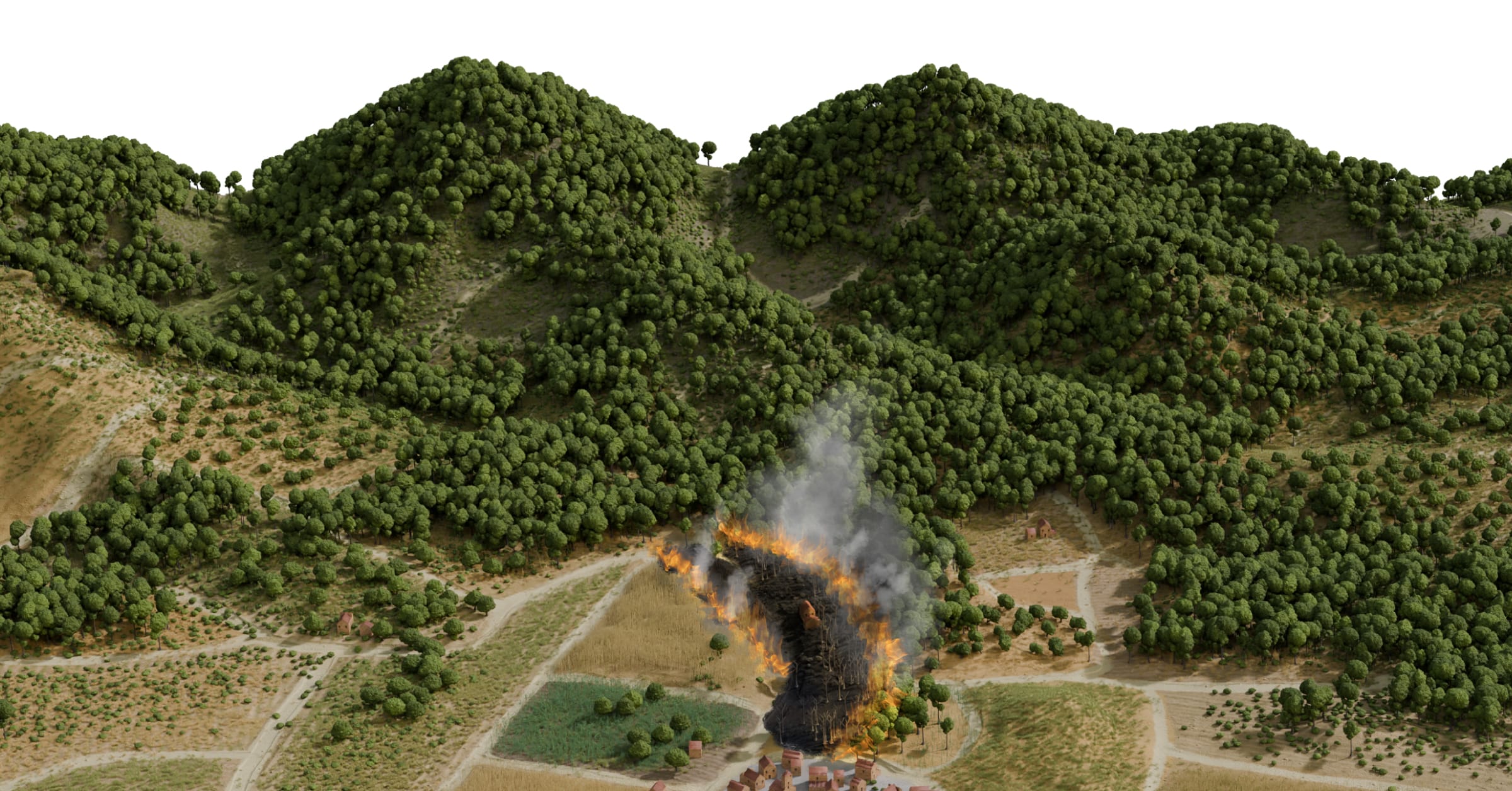
In the 1950s, the countryside west of Madrid, Spain’s capital, was a mosaic of crop fields and pastures, intersected by rural roads. If a fire ignited, the fragmented landscape would limit its spread, half a dozen experts told Reuters.
By 1975, the first signs of declining rural activity were visible in aerial photographs: shrubs and trees were starting to take over abandoned farmland, building up vegetation in the landscape.
In the decades that followed, young forests took root. The woodland spread across old parcel boundaries, growing denser and joining together to form more continuous forest.
Now, if a fire starts, the continuous vegetation provides fuel for the flames to spread. If another breaks out nearby, the two can quickly merge into a vast blaze that overwhelms firefighters.
A s climate change pushes temperatures to new peaks , the consequences of this landscape evolution are becoming clear: This summer, tinder-dry stretches of untended forest and shrubland served as the perfect fuel for Spain’s biggest wildfire in recent history.
Source link