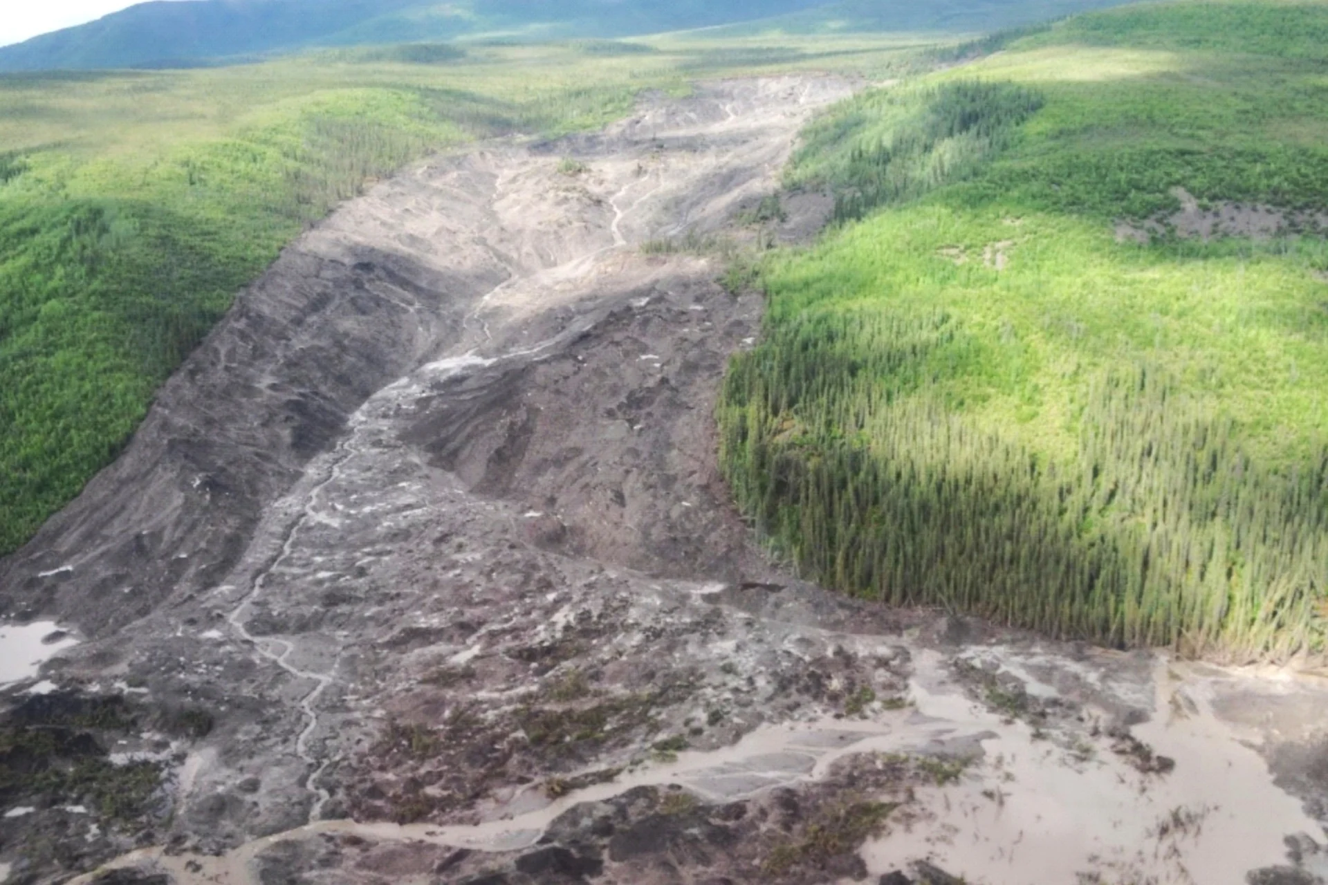
In 2017, an enormous landslide struck the Johnson River Valley in Canada’s Northwest Territories, dislodging house-sized chunks of permafrost and carving a 2-mile (3-kilometer) scar into the landscape. The scale of this event was unlike anything seen in the region before. Then, a year later, it happened again in the Redstone River Valley.
The 2018 event was smaller, but still massive. It moved about 160 million cubic feet (4.5 million cubic meters) of debris, roughly a quarter of the amount displaced by the 2017 landslide. Once again, huge slabs of frozen ground dislodged and careened down the slope—a stark contrast to the oozing slurry that’s typical of melting permafrost.
A new scientific investigation into these two extreme events suggests they belong to a new class of landslides that the researchers call “permafrost detachment slides.” The study, published in the journal Geophysical Research Letters, shows that these events could become more common as temperatures rise and wildfire dynamics change.
A team of researchers led by Joseph Young, who completed the study as a PhD student at the University of Alberta, used satellite images, drone surveys, field samples, geophysical measurements, and computer modeling to characterize the 2017 and 2018 landslides and investigate how they happened.
2 degrees Fahrenheit (-1 degree Celsius). 3 degrees C) per decade. And in 1995, severe wildfires scorched the areas where the two landslides occurred.
Source link