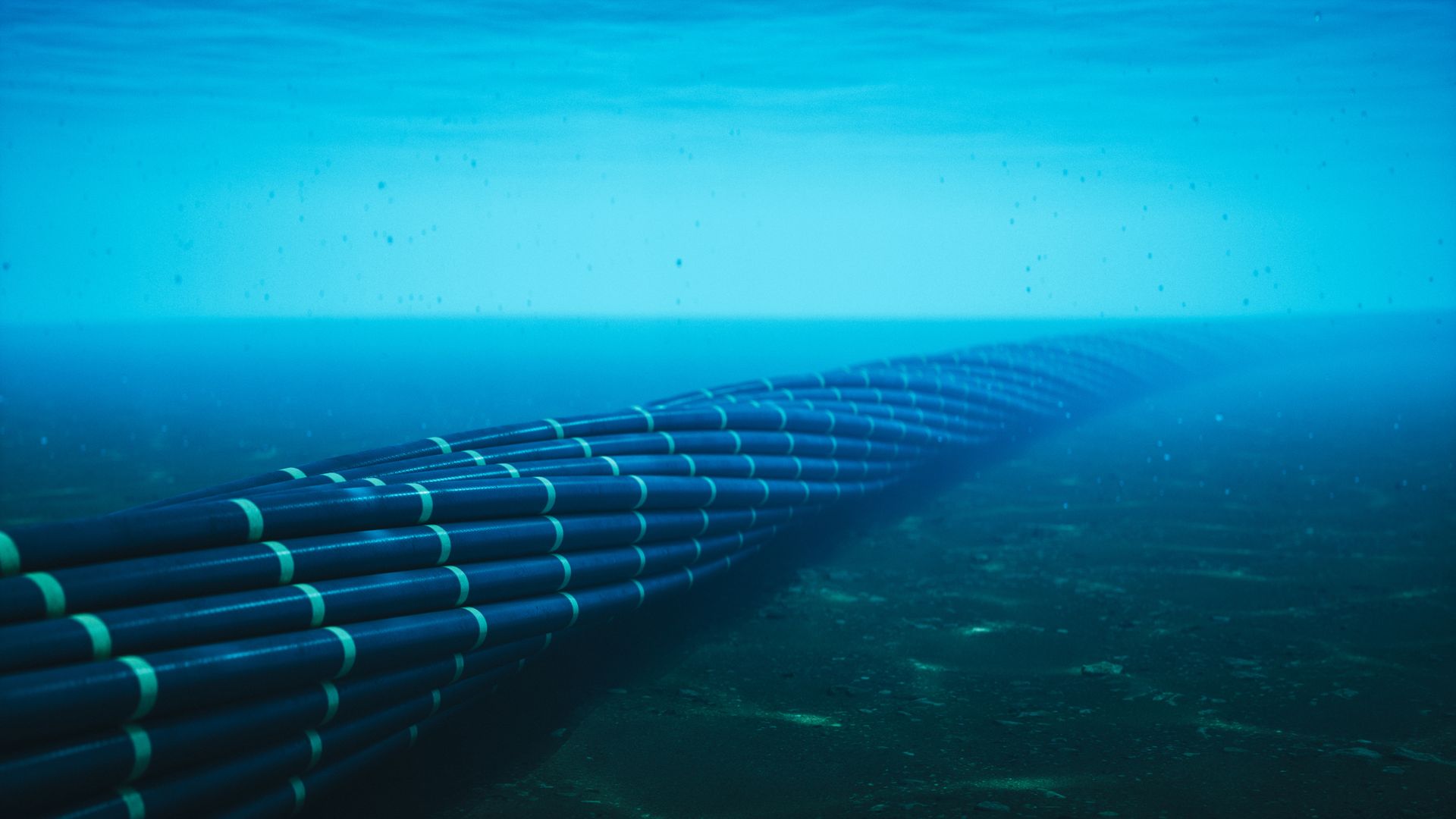
Moscow is apparently using commercial fishing trawlers to map undersea cables connecting the U.S. and Europe. According to The Telegraph, it has uncovered over 500 incidents where Russian fishing boats loitered above critical communications cables over a span of four and a half years. All the data came from Global Fishing Watch, which uses satellite data to track vessels over the open ocean. The satellite tracks of these suspicious Russian ships are then cross-referenced over nautical charts that marked the locations of undersea cables.
While the general location of most undersea cables is clearly marked on nautical charts so ships can avoid them, any operation involving undersea cables requires more accurate positioning data. The Telegraph gave three examples of Russian trawlers seemingly surveying critical infrastructure. One ship followed the track of nine separate cables under the Atlantic, including the Atlantic Crossing 1 telecommunications cable and the decommissioned TAT-14 undersea cable owned by Sprint Corporation. Another ship loitered near the trans-Atlantic Hibernia Express cable and then followed the route of the Shefa-2 cable that connects Shetland to the Faroe Islands, while a third partially followed the tracks of the Amitie and Grace Hopper undersea cables, which connects the UK, France, and Spain to the U.S.
These ships have slowed multiple times, sometimes traveling at speeds between two and three knots. A senior naval officer said that the ships suspected of conducting these intelligence activities are large enough to house an uncrewed surface vehicle (USV) or remotely operated vehicle (ROV), and that they could deploy tethered units at very low speeds.
Source link