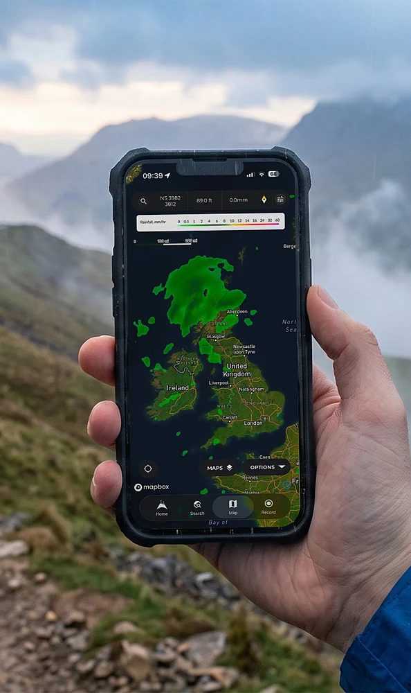
Best Hiking Navigation Apps for 2026: AllTrails, Gaia GPS, Komoot and FarOut offer different tools for trail discovery, route planning, offline maps and backcountry navigation.
AllTrails for Trail Discovery: AllTrails works well for day hikes and popular trails. It offers trail maps, reviews, photos, GPS tracking and offline maps with its paid features.
Komoot for Route Planning: Komoot is useful for walking, hiking and cycling routes. Turn-by-turn voice guidance, elevation details and offline maps help during longer trips.
Gaia GPS for Backcountry Hiking: Gaia GPS focuses on serious outdoor navigation. Topographic and satellite maps, offline support, waypoints and multiple map layers suit remote hiking.
FarOut for Thru-Hikes: FarOut is designed for major long-distance trails. Its guides show water sources, campsites, resupply points and other important trail waypoints.
onX Backcountry for Land Boundaries: onX Backcountry combines offline maps with public and private land boundaries. It can help hikers understand land ownership while planning remote trips.
CalTopo and Avenza for Detailed Maps: CalTopo supports advanced route planning, terrain layers and custom maps. Avenza Maps can also use georeferenced PDF maps for offline navigation.
Download Maps Before Leaving: Mobile signals can disappear on remote trails. Download offline maps first and carry a power bank. A physical map and compass can also provide a backup.
Choose the App for Your Hike: Use AllTrails for popular day hikes, Komoot for guided routes, Gaia GPS for backcountry trips and FarOut for major thru-hiking trails. Check trail information with official sources when possible.
Join our WhatsApp Channel to get the latest news, exclusives and videos on WhatsApp
Source link