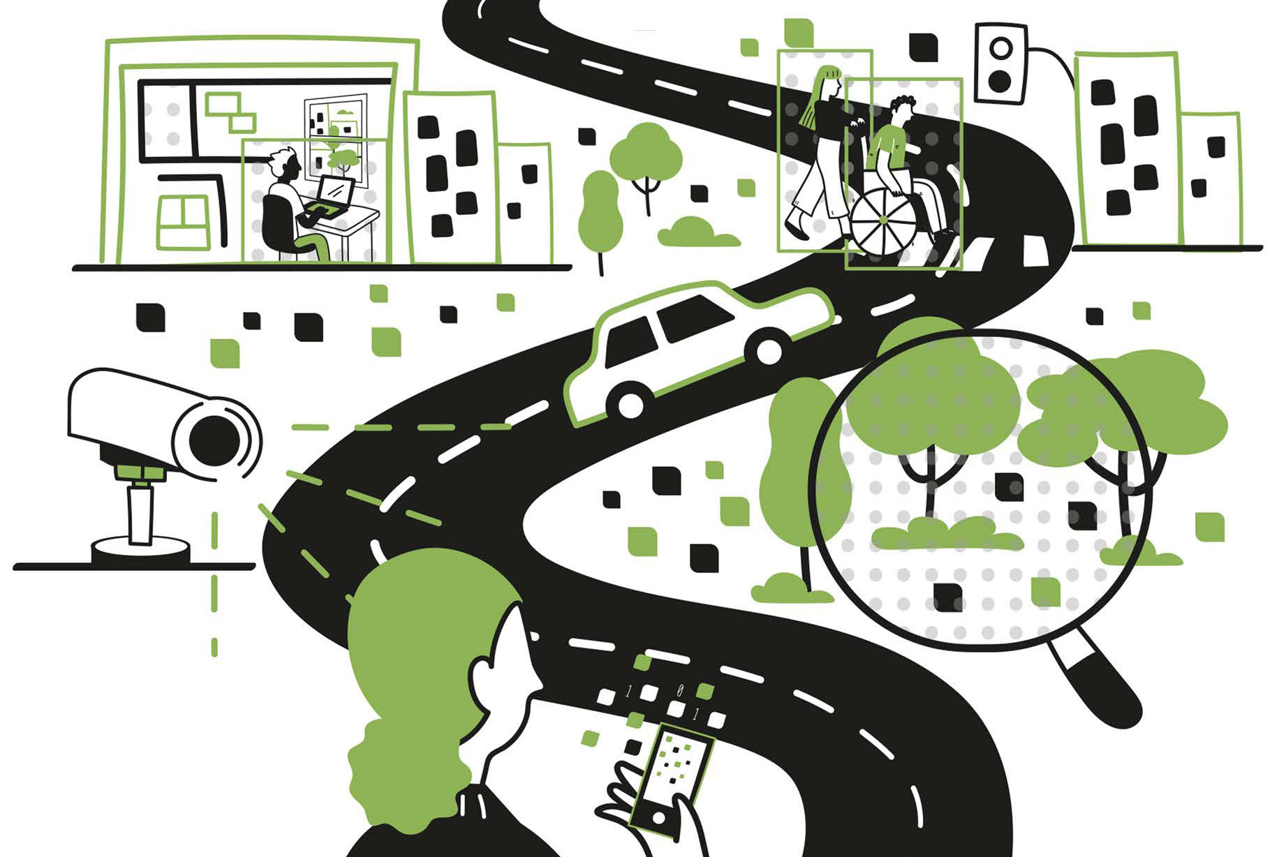
A few months ago, researchers from the MIT Senseable City Lab published a study about pollution in New York City featuring some new methods. For instance: With machine learning, they identified the types of vehicles appearing in 331 traffic cameras in the city, and estimated the emissions coming from each automobile. Given enough cameras, these visual artificial intelligence techniques could monitor emissions with an unprecedented combination of precision and scale.
For that matter, visual AI today can address all kinds of questions for urban planners. Why exactly is traffic snarling? What are the most dangerous aspects of different intersections? Which parts of plazas or parks attract the most people?
Across cities, more images means more data, more insight — and more concerns about privacy and fairness.
“We can treat these digital images as data and quantify features of the city,” says Fábio Duarte, an MIT researcher and co-author of a new book about visual AI and urban studies. “With computer vision techniques, each image is a dataset.” Still, he adds, “We have to be careful about it.”
And while urbanists have long used visual analysis to inform their thinking, now it’s possible to an unprecedented extent.
“Everybody has been observing the urban environment and trying to get some insight,” says Martina Mazzarello, an MIT scholar and a co-author of the new book. “But what if we can do that at a large scale and get some insight everywhere?”
The scholars explore these topics in “ How AI Sees the City: Urban Visual Intelligence ,” published this month by Routledge.
Source link