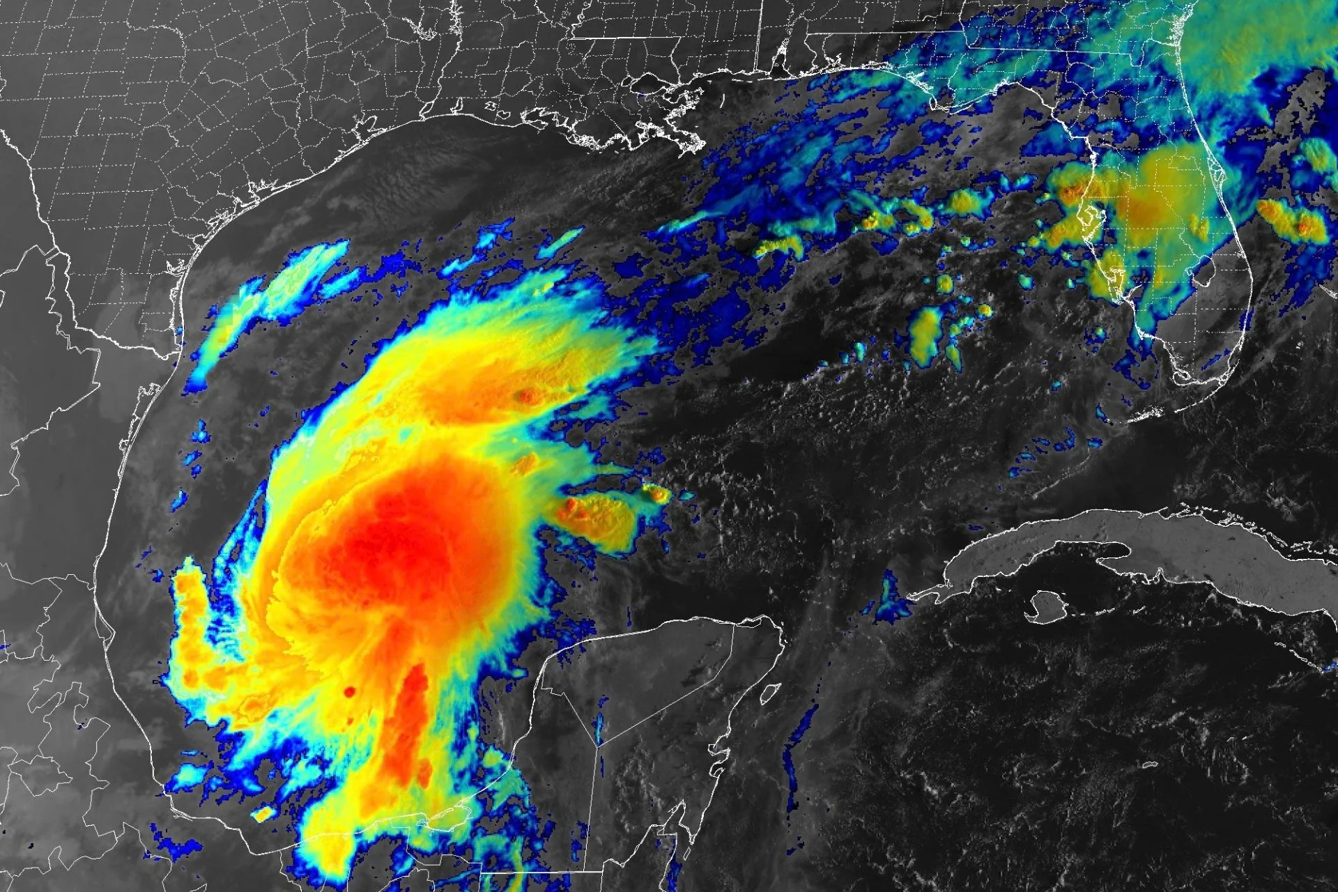
Tropical Storm Isaias, which took shape overnight in the warm waters off the eastern coast of Mexico, is now tracking toward the United States. Forecasters expect the cyclone to rapidly strengthen over the next couple of days before making landfall on the U.S. Gulf Coast as the first hurricane of the 2026 Atlantic season.
In a statement issued at 5 a.m. ET today, the National Hurricane Center (NHC) said models show Isaias developing an inner core—a precursor to hurricane formation—later today. In about 48 hours, NHC forecasters expect the storm’s winds to reach their maximum intensity at 109 miles per hour (175 kilometers per hour) over the central Gulf of Mexico. That would make Isaias a Category 2 hurricane at peak strength.
According to the NHC, vertical wind shear—which can tear apart and weaken hurricanes—should increase dramatically in the last 24 hours before Isaias makes landfall somewhere between eastern Louisiana and the Florida Panhandle. Despite this, “it is looking more likely that Isaias will be a significant hurricane when it reaches the coast,” the agency’s statement reads.
Google DeepMind’s WeatherNext Cyclones, an AI forecast model the NHC uses as part of its operational forecasting toolkit, shows Isaias making landfall on the western end of the Florida Panhandle as a Category 1 hurricane in the early hours of Saturday. However, the exact timing, location, and strength of this storm’s landfall remain largely uncertain.
The National Weather Service (NWS) has issued hurricane warnings for the waters in the central Gulf, as high winds and rough seas could pose a threat to ships in the area.
Source link