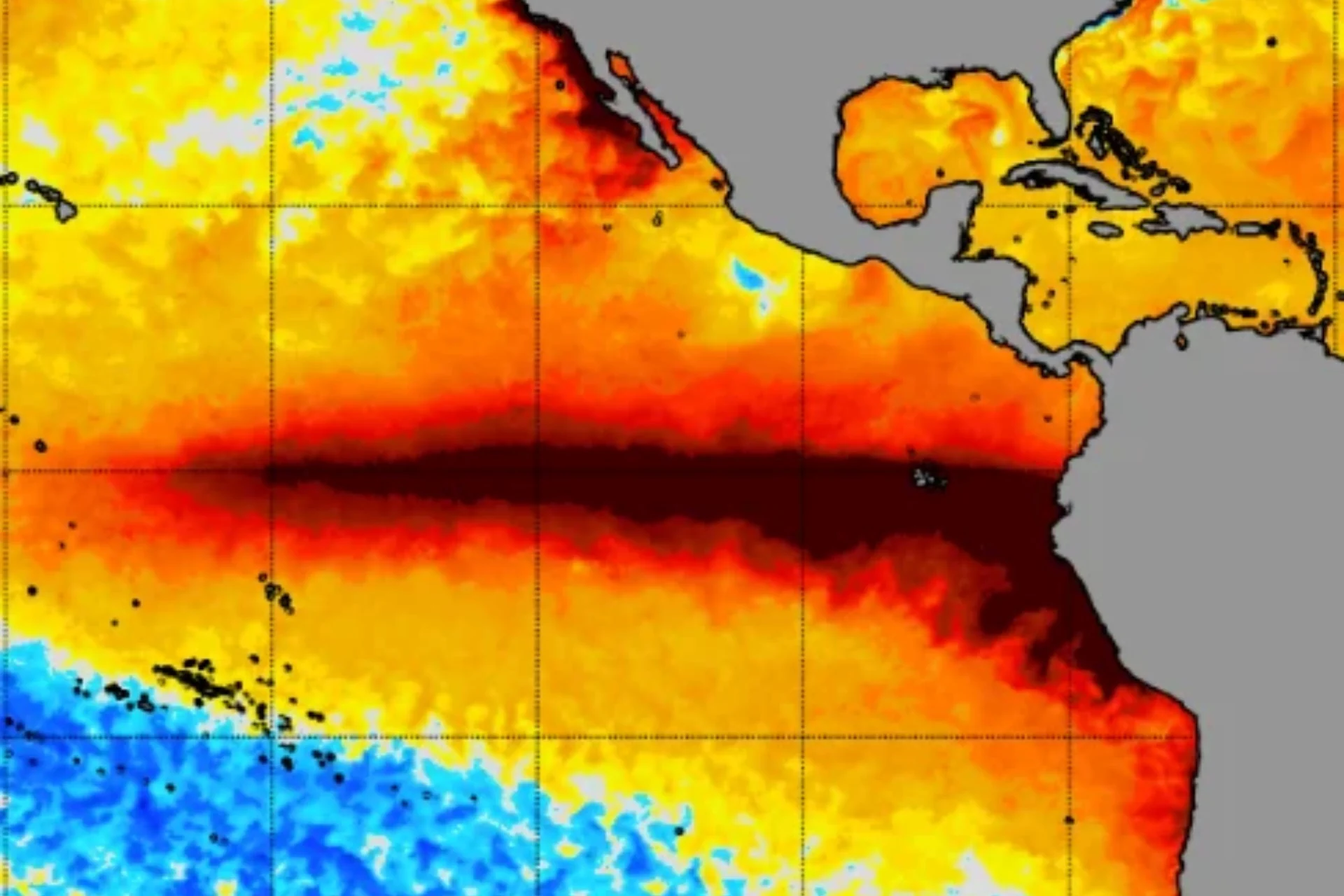
For months now, El Niño has been strengthening at breakneck speed. Climate scientists expect this event to reach a record-breaking peak sometime in December or January, so why are Pacific sea surface temperatures suddenly declining?
Take a look at this graph from the University of Maine’s Climate Change Institute. It charts daily average sea surface temperatures in the Niño 3.4 region, a key area of the central and eastern tropical Pacific that scientists monitor for El Niño and La Niña. That red line jutting out above all the rest is 2026, and as you can see, temperatures since June have been well above any observed in the last 45 years. That’s because of the current super El Niño.
Over the past two weeks, however, sea surface temperatures in this Pacific region have appeared to fall. On Monday, the preliminary daily average was 0.63 degrees Fahrenheit (0.35 degrees Celsius) cooler than it was on October 30. This has sparked speculation that El Niño may have peaked early, but scientists beg to differ.
“Is El Niño peaking early? Probably not!” meteorologist Ben Noll wrote in an X post on Tuesday. “Of the new models just released, 5 of 10 show a peak in December, with 4 of 10 in January. There’s still huge amounts of warm water in the Pacific, with subsurface waters in the Niño 3.4 region even warmer than the surface in some areas.”
Of the new models just released, 5 of 10 show a peak in December, with 4 of 10 in January.
Source link