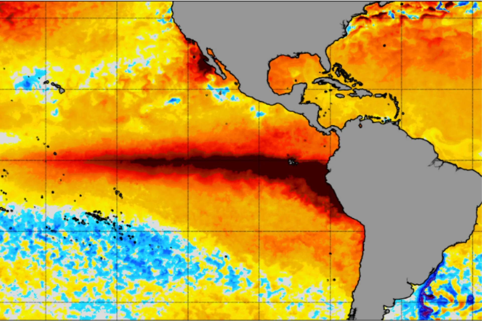
We’re still months away from the expected peak of this “super” El Niño, and the waters of the tropical Pacific Ocean have been record-warm for weeks. The latest model projections suggest they could remain that way for months to come, stretching El Niño’s impact well into 2027.
In mid-September, daily sea surface temperatures in the Niño 3.4 region—a key area of the tropical Pacific that serves as the benchmark for El Niño and La Niña—were 5.49 degrees Fahrenheit (3.05 degrees Celsius) above average. The anomaly exceeded the record-setting peak temperature measured during the very strong El Niño of 2015-2016. That event didn’t peak until November 2015, so the fact that this year’s El Niño has already broken its record is nothing short of remarkable.
Even more remarkable is the fact that this El Niño is still rapidly strengthening. The most recent seasonal El Niño forecast from the European Centre for Medium-Range Weather Forecasts (ECMWF) shows this event peaking around 7.2 degrees F (4 degrees C) in December.
Model projections suggest sea surface temperatures could remain at record-breaking levels for six straight months, a sign that this El Niño’s weather influence will likely persist longer into 2027 than usual, according to meteorologist Ben Noll.
“I think the pace of decline will accelerate by May, but given just how large the anomalies are, the event may not fully conclude until summer,” he wrote in an X thread on Tuesday.
New ECMWF seasonal guidance shows *six straight months* of record-breaking El Niño conditions, with a peak above 4°C in December.
Source link