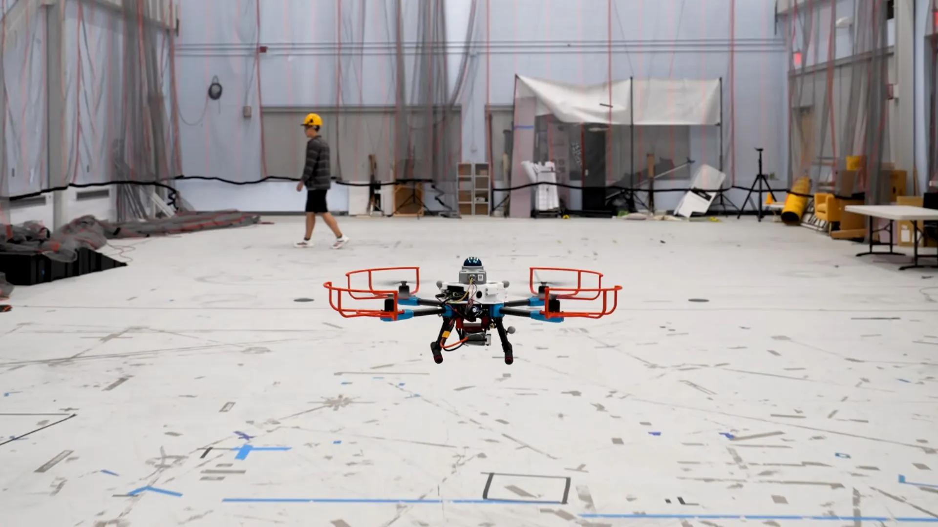
MIT researchers have developed an autonomous navigation system that can plan collision-free flight paths for drones in unfamiliar environments.
Called SANDO, the method lets unmanned aerial vehicles avoid obstacles that may move unpredictably while mapping their surroundings.
The system calculates efficient trajectories and mathematically guarantees that the planned path will remain collision-free.
The approach could help drones operate in challenging situations such as wildfire response, search and rescue missions in collapsed buildings, mine exploration, and package delivery in crowded areas.
SANDO (Safe Autonomous Trajectory Planning for Dynamic Unknown Environments) is an autonomous trajectory-planning system designed to help unmanned aerial vehicles (UAVs) navigate unfamiliar environments while avoiding moving obstacles. The system is designed for situations where a drone has no existing map and cannot predict exactly how objects around it will move.
Most navigation systems are designed for either unknown environments with static obstacles or known environments with predictable conditions. Systems that handle moving obstacles often avoid them without providing a formal mathematical guarantee that the vehicle will remain collision-free.
SANDO addresses this problem by generating flight paths that are mathematically proven to avoid collisions, even when obstacles are moving unpredictably. The system only needs to know the maximum speed that surrounding obstacles could reach. It can then calculate how far each obstacle could potentially travel within a given period and account for those possible movements when planning the drone’s route.
The system begins by creating a three-dimensional safety corridor through the environment. This corridor consists of connected regions of space that the UAV can safely travel through.
Source link