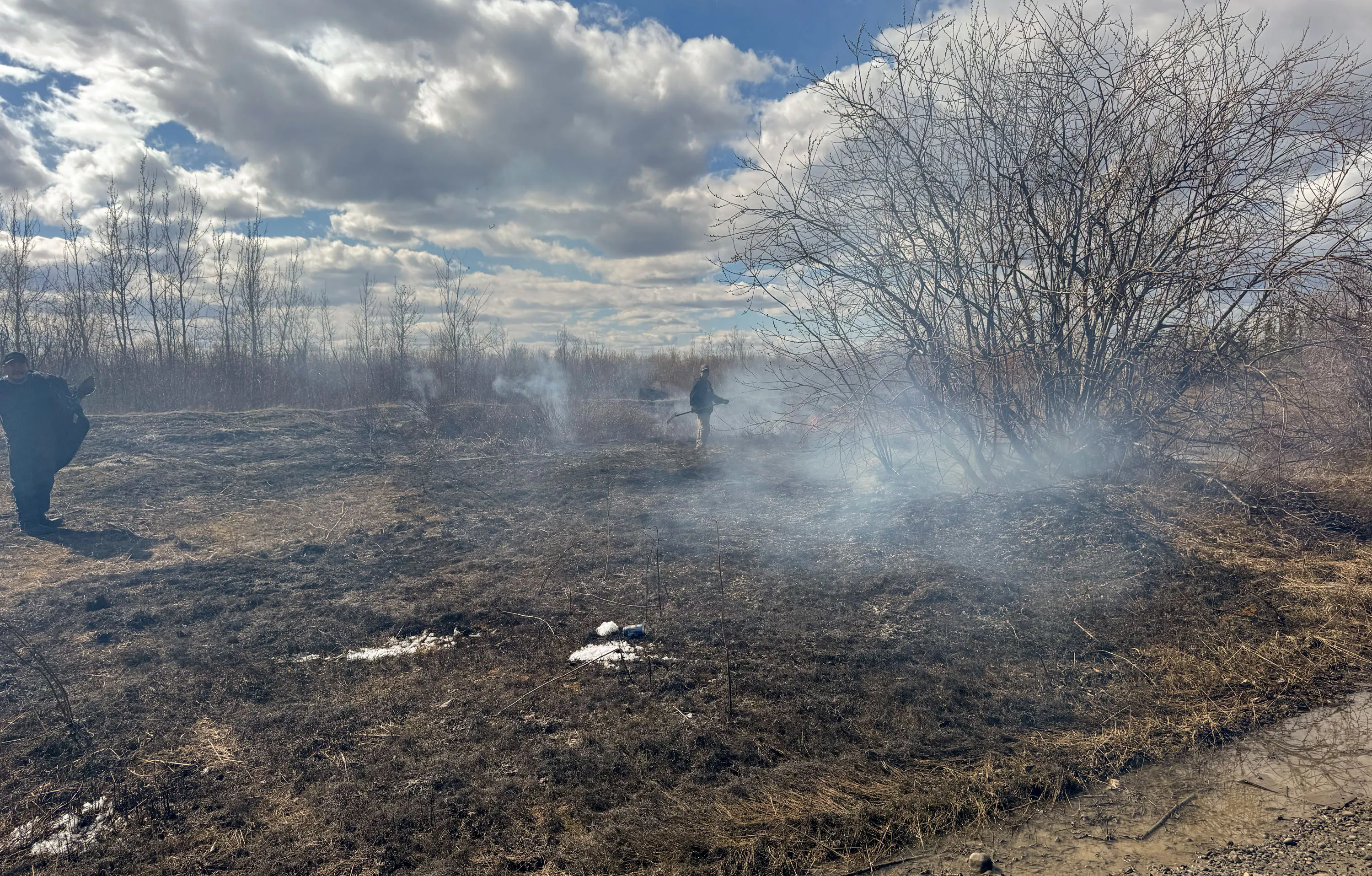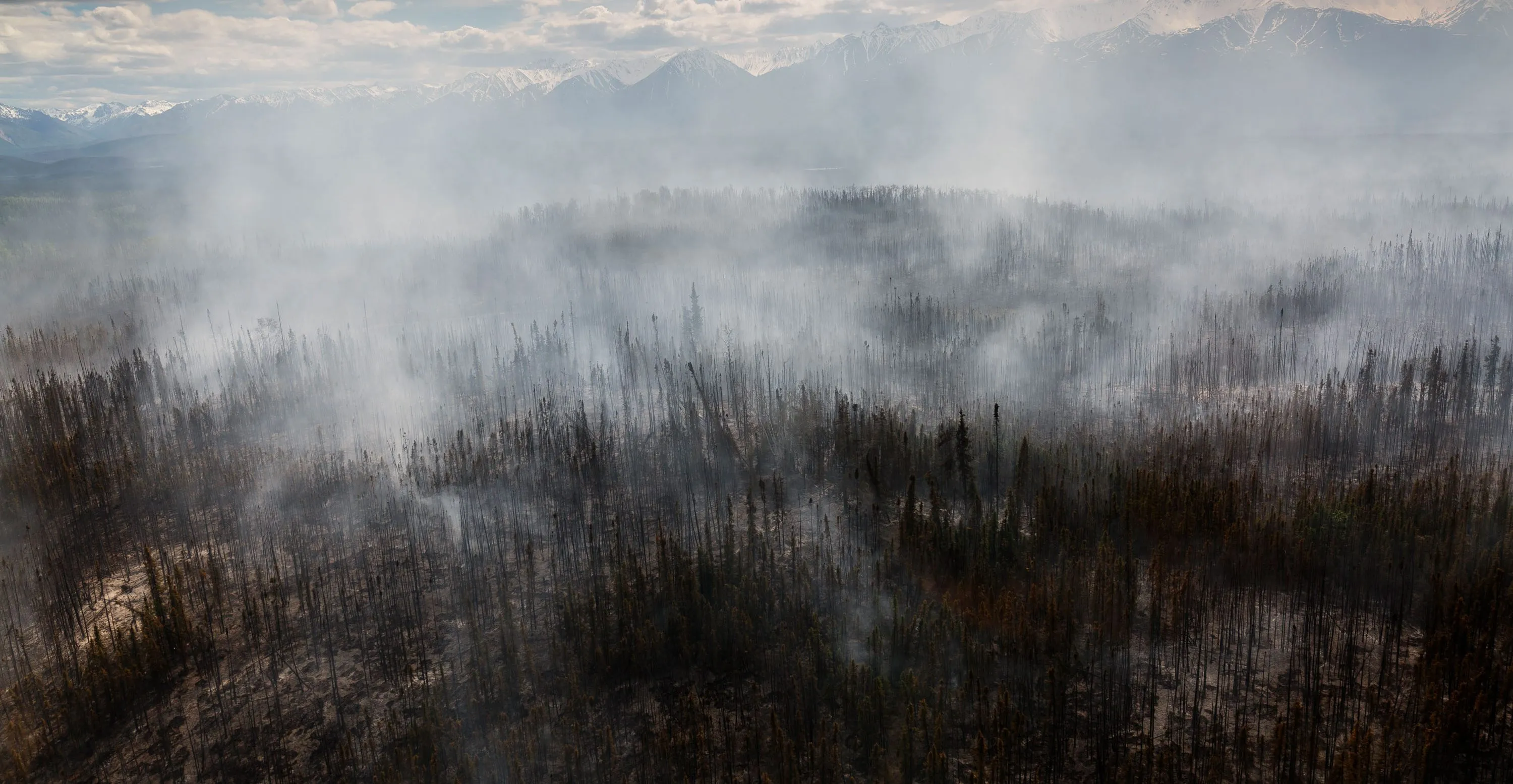
In the middle of an especially warm July in 2021, a wildfire ignited in a thick forest of black spruce and peeling paper birch trees on the northern campus of the University of Alaska, Fairbanks.
The blaze, possibly sparked by lightning, burned across the dry carpet of feather mosses and lichen before climbing into the crowns. By the time fire agencies responded, flames had reached 12 feet in length and sent up a 500-foot column of smoke.
A few days shy of the five-year anniversary of the Yankovich Road Fire, I followed three members of the Alaska Fire Science Consortium into the boreal forest, walking along cross-country ski trails lined by feathery field horsetail.
In 2024, the organization, which hosts presentations to keep wildfire managers abreast of new developments in fire science, helped turn the area into an educational walking trail, with interpretive signs posted along the route. About a half-mile in, the horizon opened up as we reached a sparse stand of naked, blackened tree trunks, stripped of needles and neighbors.
Hilary Shook, the coordinator of the consortium, stepped off the trail with her thaw probe, a T-shaped pointed metal rod used to detect the upper boundary of the permafrost, the ancient layer of frozen soil that underlies 15% of the land around the Northern Hemisphere and stores roughly twice as much carbon as the atmosphere.
A test of the ground just outside the burn scar hit the concrete-like layer about a foot below the surface. But as Shook applied pressure here, where the fire had burned away the moss and organic-rich topsoil that insulates the permafrost, the probe plunged at least three times deeper into the ground.
Source link