
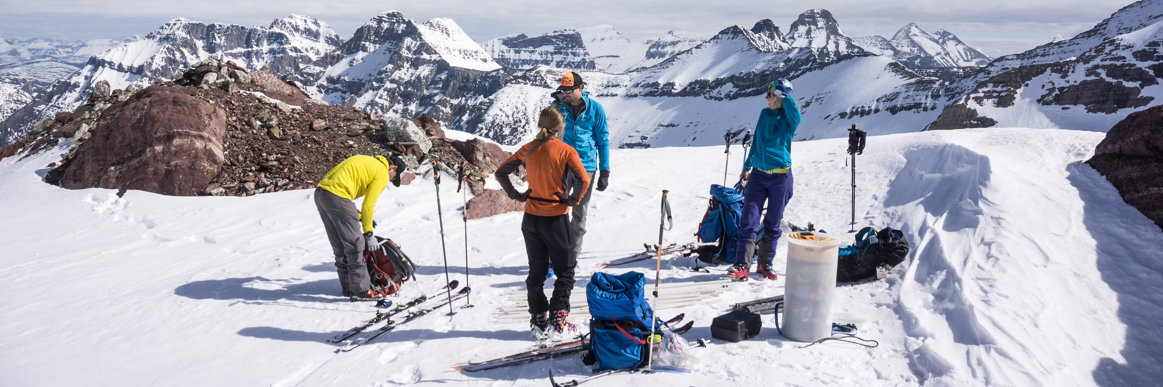
From an airplane, most of the glaciers of the Rocky Mountain West look like small patches of white nestled into rugged landscape where the topography folds. The white is the snow cover, and lower down you can see the gray-blue bare ice.
In the middle of the 20th century, over 1,450 glaciers could be found in the contiguous U.S. Together, they covered 217 square miles (562 square kilometers) in six western states. Today, a comprehensive review my colleagues and I just published in the Proceedings of the National Academy of Sciences shows their total area has shrunk by 35% and they are still shrinking, perhaps faster.
A little more than 300 glaciers have disappeared, way more than I had anticipated.
Those that survive reflect just how vulnerable mountain glaciers have become as global temperatures rise. Where glaciers once covered large expanses of the western mountains thousands of years ago, most of the remaining glaciers in the Rockies and Sierra Nevada are small and found in topographically protected places.
When people think of glaciers, they often picture huge ice streams with icebergs calving off the front, like you’ll find in Alaska or Greenland. In the Lower 48 states, with the exception of a few large glaciers in Washington, they’re much smaller.
We found that the average glacier area is about one-tenth of a square mile (about a quarter of a square kilometer) in size. 24 square kilometers).
Source link