CONNECT WITH US
AI & Deeptech

AI & Deeptech

Google Deepmind creates a global map of forests with satellite data and AI

The Decoder logo

Published on

Add as a preferred source on Google
Google Deepmind creates a global map of forests with satellite data and AI

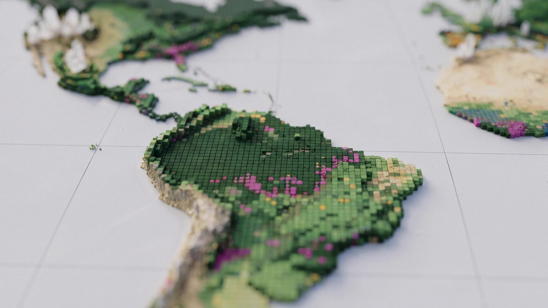
Google Deepmind and the World Resources Institute have released ForTy, a global map that classifies forests and other land into six categories, including primary forest, plantations, and tree crops. The map could help track deforestation under EU rules, but it identifies only about half of planted forests and tree-crop areas, and 60% of plantations.

The article Google Deepmind creates a global map of forests with satellite data and AI appeared first on The Decoder.


Source link

Disclaimer

We strive to uphold the highest ethical standards in all of our reporting and coverage. We TheMorningPulse.fyi want to be transparent with our readers about any potential conflicts of interest that may arise in our work. It's possible that some of the investors we feature may have connections to other businesses, including competitors or companies we write about. However, we want to assure our readers that this will not have any impact on the integrity or impartiality of our reporting. We are committed to delivering accurate, unbiased news and information to our audience, and we will continue to uphold our ethics and principles in all of our work. Thank you for your trust and support.