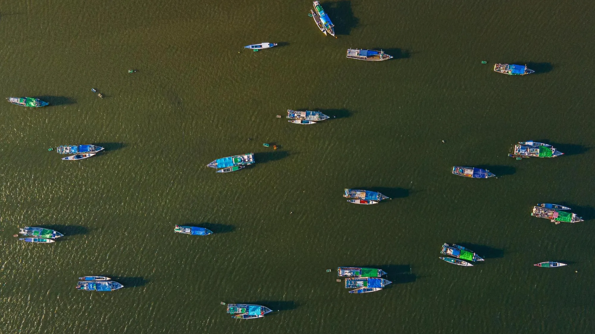
In the eastern Indian Ocean, south of Java in the vast sea stretching toward Australia, a fishing vessel slightly alters its course while operating near the boundary of its authorized fishing ground. Nothing appears unusual on deck. Nets remain in the water. Engines maintain a steady speed. To the crew, it is an ordinary day at sea.
Yet hundreds of kilometers above, satellites continuously record the vessel’s position. At Indonesia’s Marine and Fisheries Resources Surveillance Station, in Cilacap, where I work, a monitoring platform receives the signal and automatically compares it against fishing permits, designated fishing grounds, vessel characteristics, and historical movement patterns. Within minutes, the system identifies a potential violation. Before any patrol vessel leaves port, before any inspector boards a vessel, and before any warning is issued, we have begun enforcement.
This transformation reflects a profound shift in maritime governance. The ocean has historically been opaque to regulators. States could only enforce laws where patrol vessels happened to be present. Today, however, integrated systems combining data from vessel monitoring systems (VMS), satellite remote sensing, geospatial analytics, and increasingly sophisticated data-processing tools are making marine activity visible at an unprecedented scale. Global Fishing Watch alone tracks hundreds of thousands of vessels worldwide, generating a near real-time picture of fishing activity across the world’s oceans.
Indonesia has emerged as one of the most ambitious examples of this transition. As the world’s largest archipelagic state, managing more than 6 million square kilometers of maritime space, Indonesia faces a challenge familiar to many coastal nations: There are never enough patrol vessels.
Source link